Main Article Content
Aug 31, 2007
Abstract
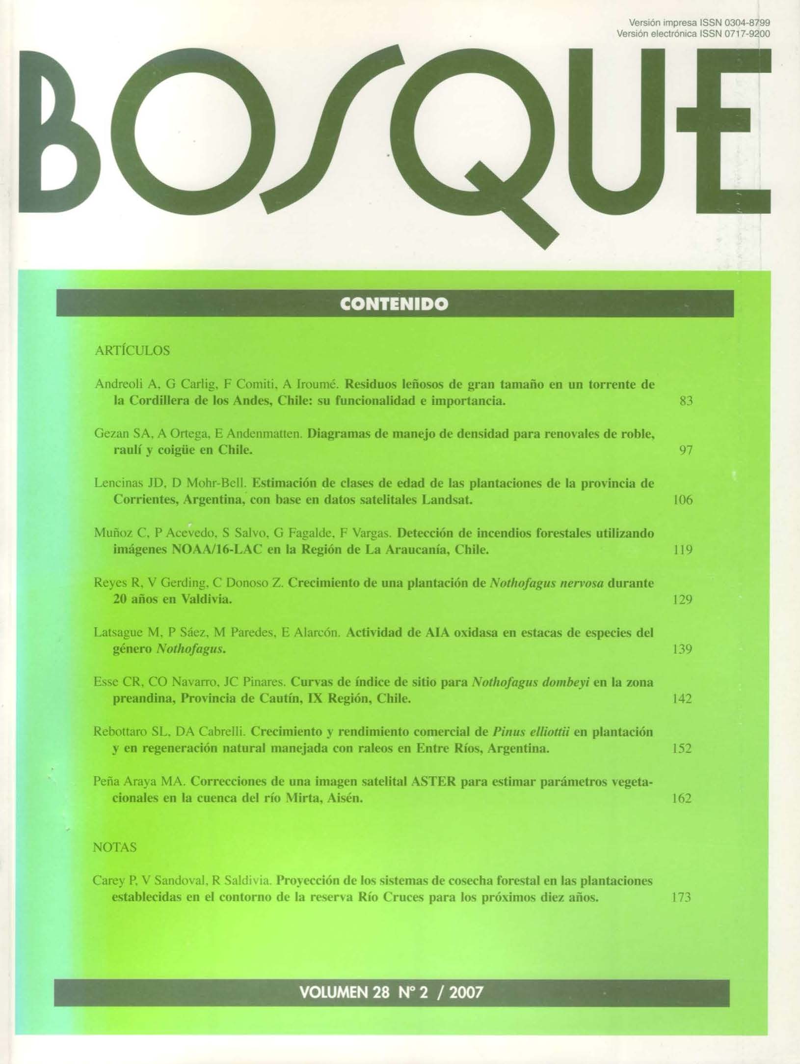
In this work, a perceptron neural network model for automatic forest fire detection based on satellite images is proposed. The model is aimed to be used at the region of La Araucanía in Chile. For this study, a set of 33 NOAA/16-AVHRR images corresponding to the 2004 forest fire season was used. The proposed classification method is based on a single layer perceptron neural network. The classification method uses the values of the five corresponding bands of each pixel of the satellite image as inputs plus the computed gradient of the infrared number 3 band of the satellite image. Both for the training stage and for the validation stage as well, statistical data were provided by the Chilean National Forest Corporation (CONAF). For the validation stage, forest fires as small as fifteen hectares in size were detected with 100% of accuracy, and a 50% of accuracy were obtained for forest fires as small as ten hectares.


