Main Article Content
Jun 14, 2017
Abstract
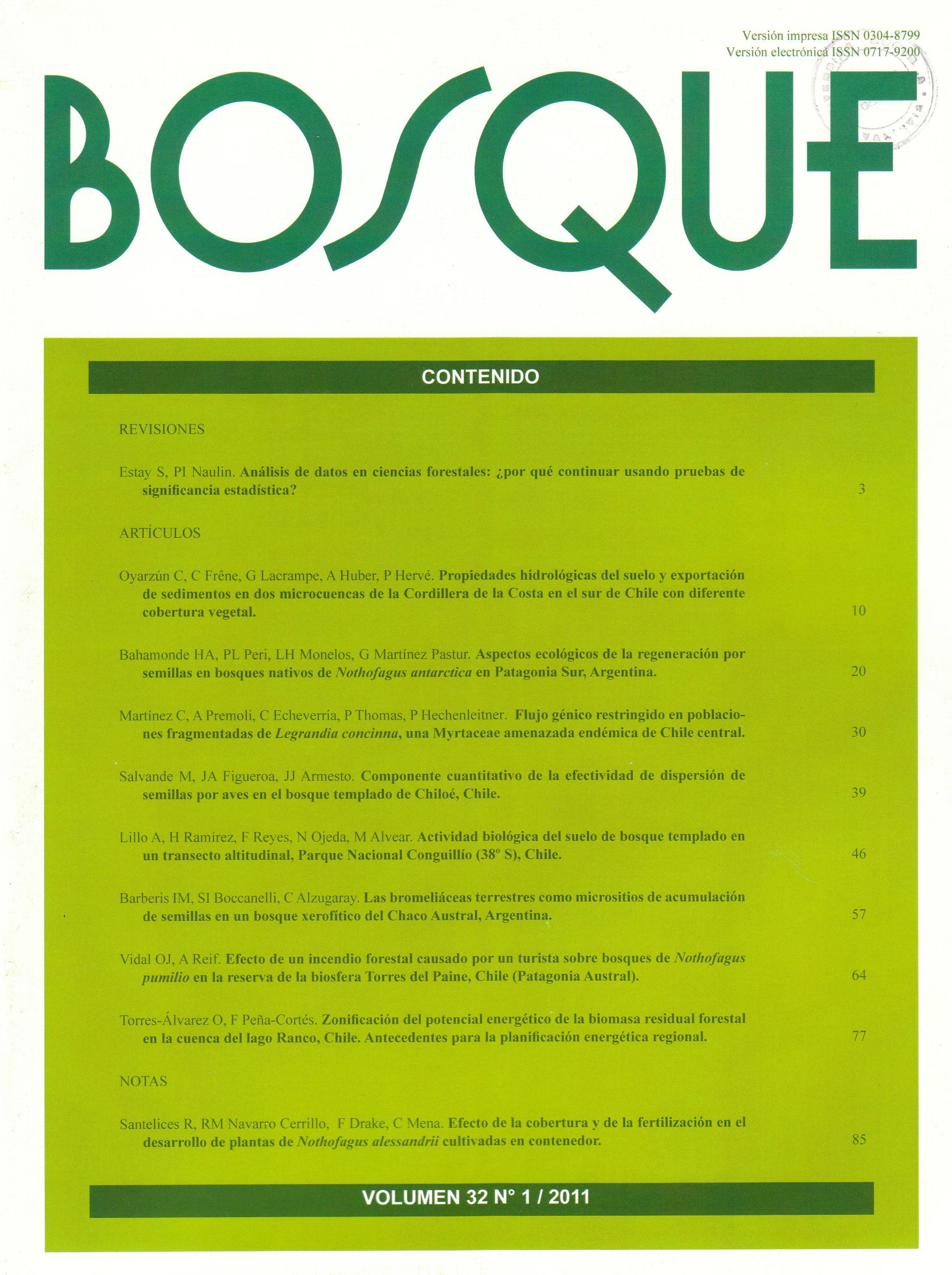
Land planning comprises a stage of land management whose aim is to generate proposals from analyzing the information of the territory, which represents multiple variables of the geographic space. Some of the most recent lines of planning are renewable energies and particularly residual forest biomass since this is a non used environmental element but with a high growth potential. For this task, using technological tools like geographic information systems or remote sensing permits to handle these topics and express them in a spatial zoning for decision making. According to this, a prospective work was made in the watershed of Ranco Lake, where optimum spaces were defined to obtain residual forest biomass in four vegetational units (coigüe-raulí-tepa, roble-raulí-coigüe, evergreen and forest plantations). The results showed that there exists an overall potential surface to handle of 45,555 hectares, from which the forest type coigüe-raulí-tepa highlights with a 62.4 % of the surface. Under the assumption of availability of residual forest biomass in the watershed and a scene of energetic crisis, the importance of prioritizing regional policies and research concerning the development of non conventional renewable energies is recognized.


